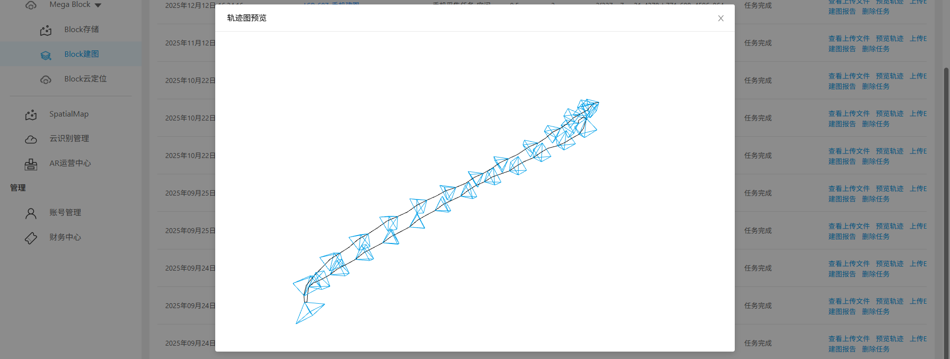
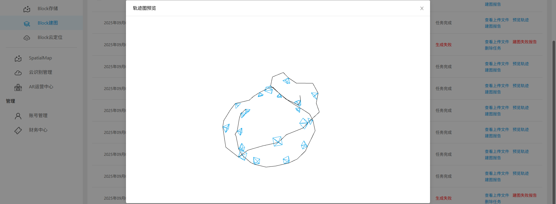
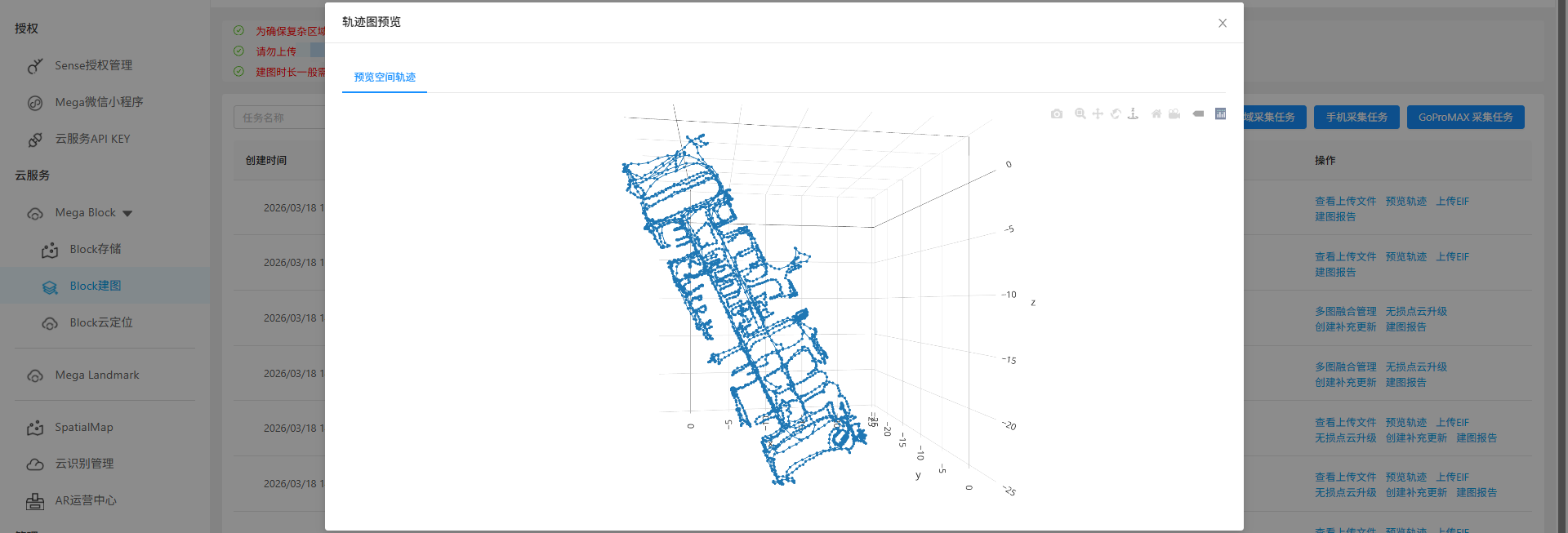
Preview mapping trajectory
This article explains how to preview mapping trajectories to determine whether the trajectory map aligns with the planned route during collection. By comparing the shape of the planned route with the trajectory map, ensure the collection path is complete without missed areas. If inconsistencies are found, re-collect or supplement data before re-uploading for mapping.
Regular single-image tasks
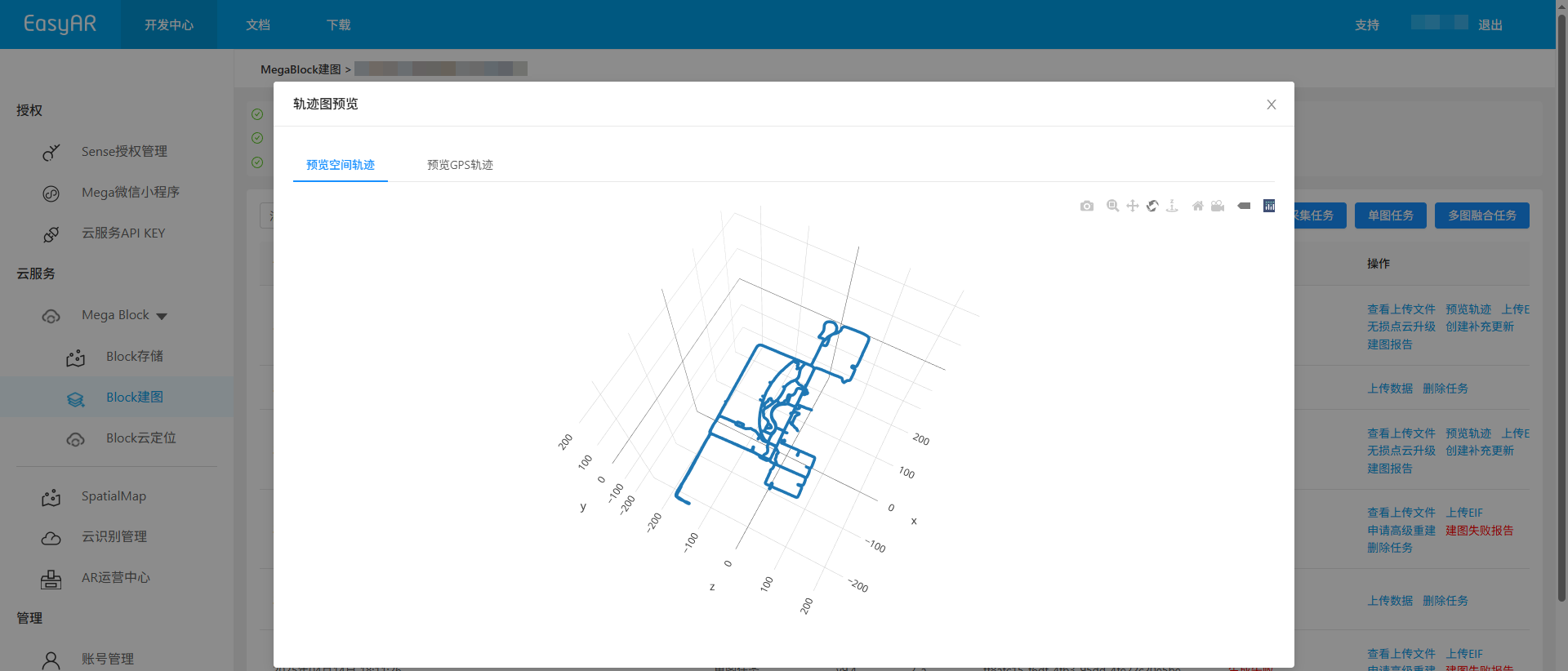
Click the
Preview trajectorybutton.

Preview the spatial trajectory map in the pop-up window.
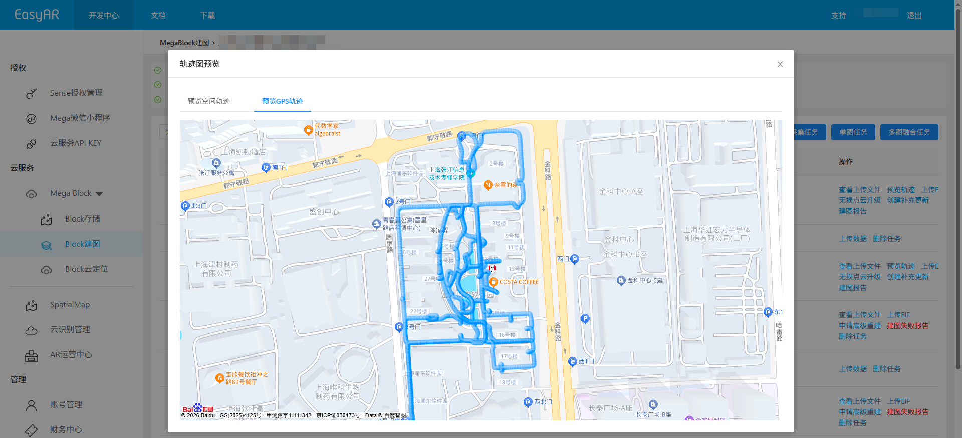
If collected data is from outdoor areas with good GNSS signals, the system automatically generates a GNSS trajectory map.
Multi-image fusion tasks
Click
Multi-image fusion managementto enter the multi-image management interface.
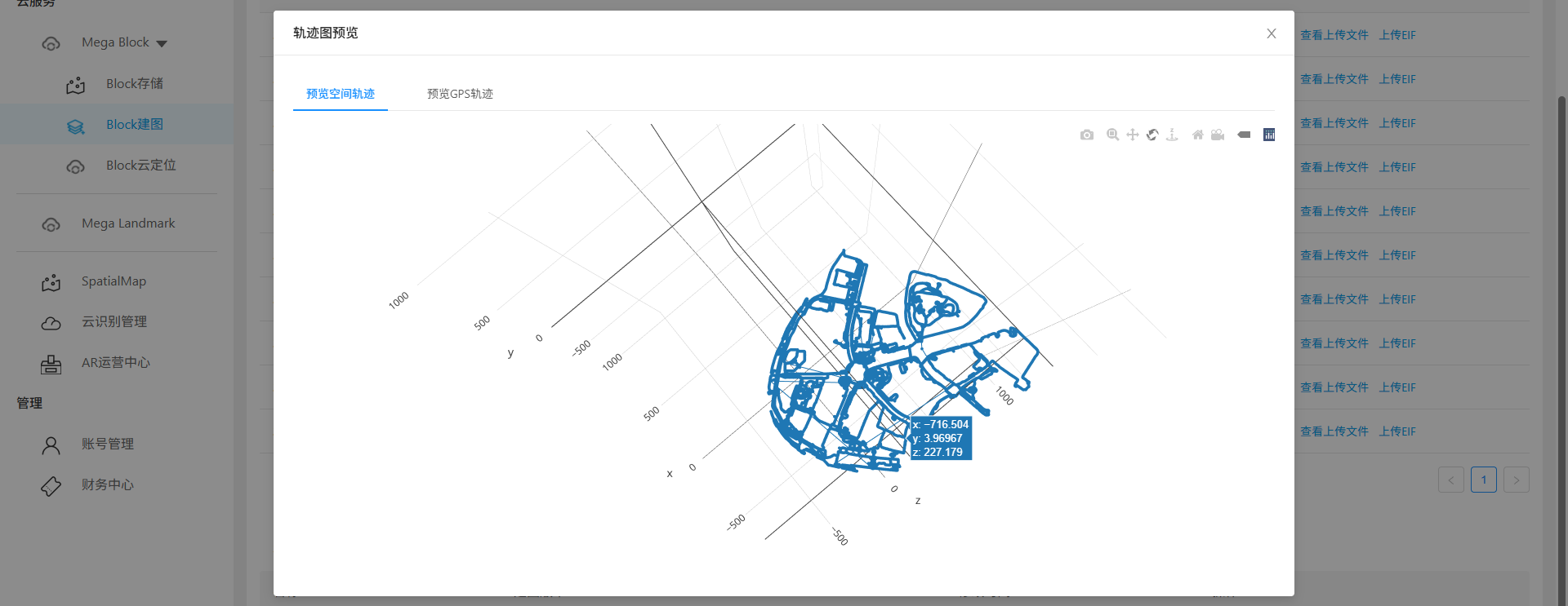
In the multi-image fusion mapping results list, click the
View trajectory databutton.
Preview the trajectory map in the pop-up window.
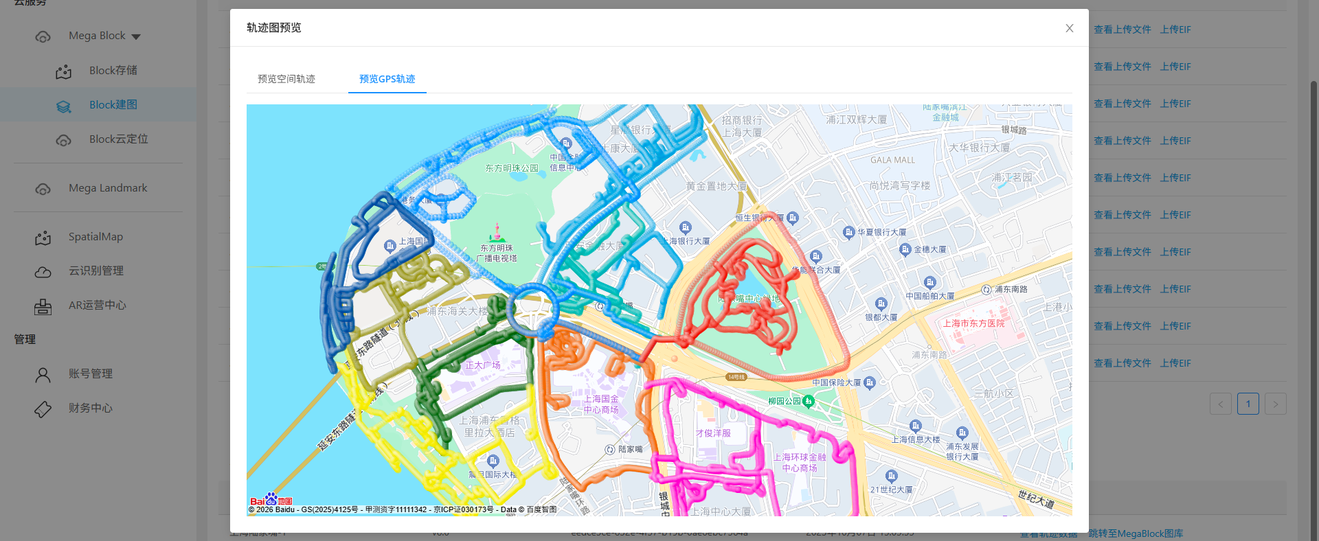
If collected data is from outdoor areas with good GNSS signals, the system automatically generates a GNSS trajectory map.
Small-scale mobile collection tasks
Click the
Preview trajectorybutton.
Preview the trajectory map in the pop-up window.
Object mobile collection tasks
Click the
Preview trajectorybutton.
Preview the trajectory map in the pop-up window.
LiDAR collection tasks
Click the
Preview trajectorybutton.
Preview the spatial trajectory map in the pop-up window.
Related topics
- View mapping results